Last Updated on May 12, 2015 by James Dziezynski
To get the most out of an adventure, it’s sometimes best to forego exhaustive research and simply head into the unknown. This philosophy has applied to my current quest to summit Nebraska Hill, an 11,534 ft. peak that registers on exactly nobody’s radar when it comes to Colorado’s mountains. It’s an easy enough peak to reach in the summer: simply drive up a 4×4 road, park, get out and walk over a flat plateau to its non-descript summit. In the winter however, it’s a trickier nut to crack.
I recruited David to join me on my first attempt up Nebraska. It was the dead of winter — January 24th — and I had spied a line on my topo maps that smashed off-trail up a steep ridge and led directly to the exposed, windswept plateau to the top of the mountain. 2.4 miles each way, for a 4.8 mile round trip — seemed reasonable enough.
Until we got there and saw the start of our route was all on private land. Oops.
Well, plan B… Mammoth Gulch it is!
Plan B was then to find a way up the peak via Mammoth Gulch, one of my favorite winter destinations, especially for snowshoeing with my dogs. Because of the fearsome winds and the fact we’d be headed into possible avalanche territory, the pups had to stay home (don’t worry, they’ll be back in the summer!)
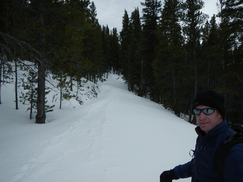
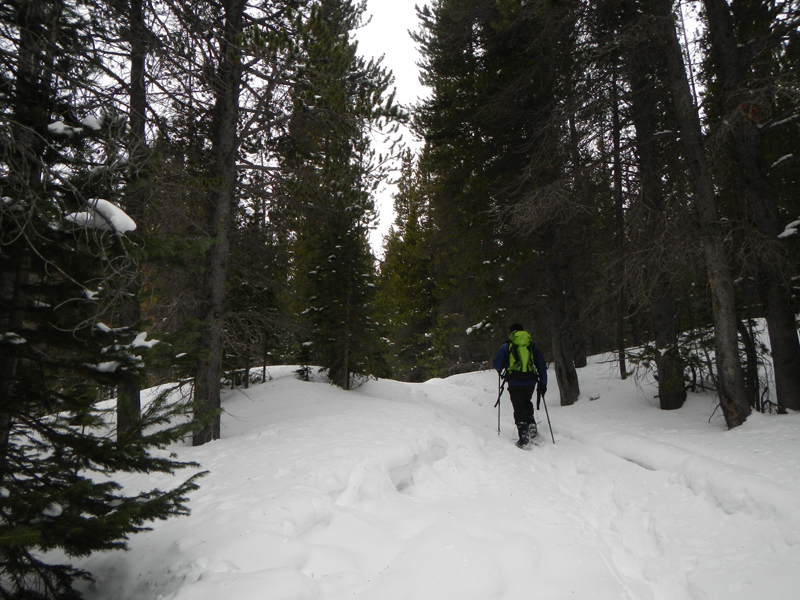
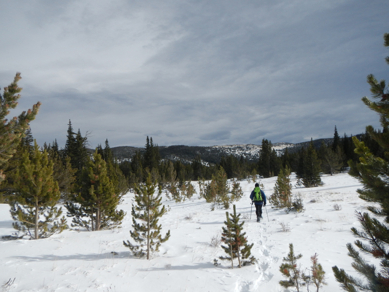
The start of the adventure took us 1.8 miles up the familiar road to a junction where an access road (FS 183) lead to the old Mammoth Reservoir. We assumed this would be the end of the established trails and from there, it would be a direct bushwack to the top of Nebraska — no small feat considering the dense trees and over 1,600 vertical feet we’d have to break trail in fresh, deep powder.
David at the very frozen Mammoth Reservoir.
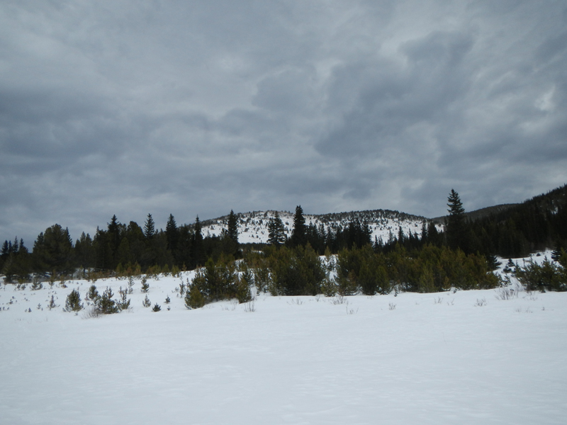
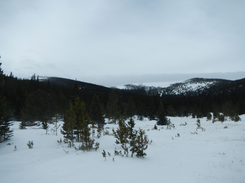
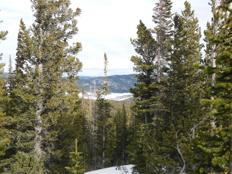
A look back at the quilted sky and Baltimore Ridge.
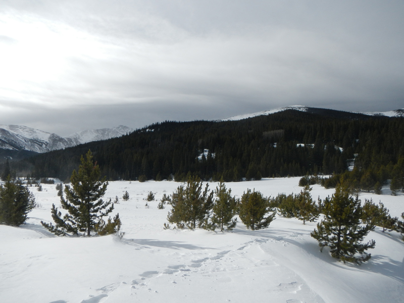
Luckily, we did find an old jeep road on the northeast side of the frozen reservoir which led us to a higher clearing. A few snowmobiles had recently been up to this point, packing down the snow and sparing us about a half mile of off-trail work. From this high clearing at exactly 10,000 ft. we had no choice but to forge ahead into the woods. (Later research using Google Earth maps revealed an established trail up the peak from this point, but it wasn’t clear in the snow cover).
The Jeep road was fairly accommodating and served us well up to the upper clearing.
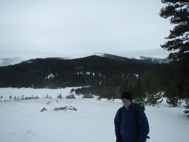
The upper clearing at precisely 10,000 ft. above sea level.
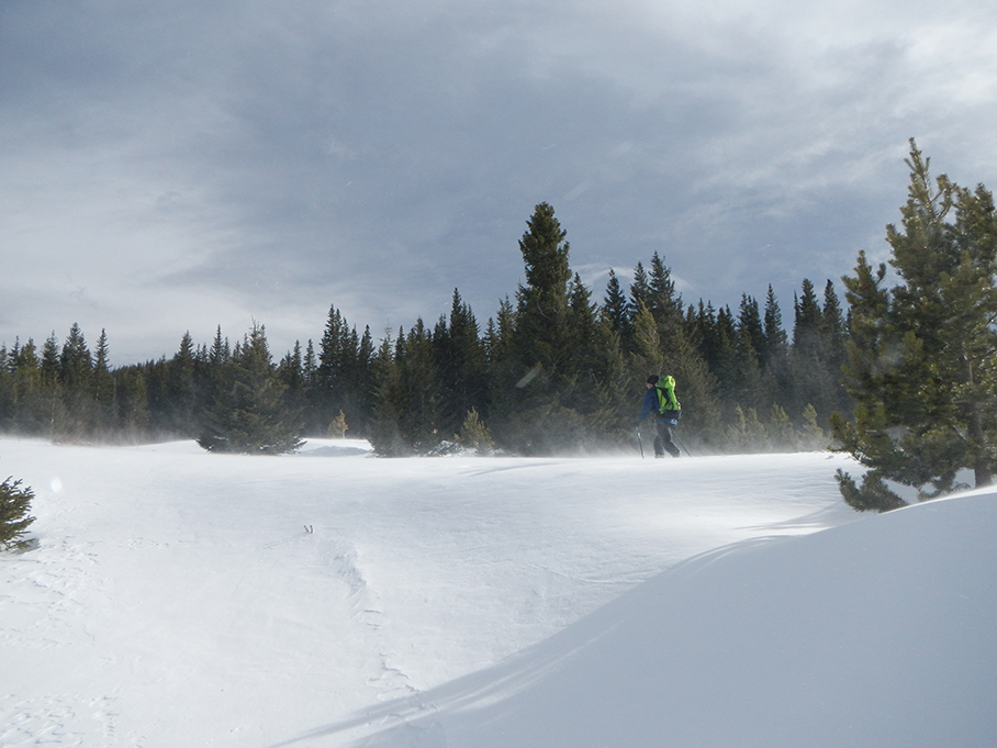
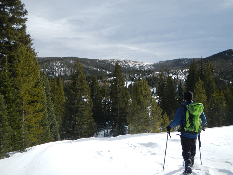
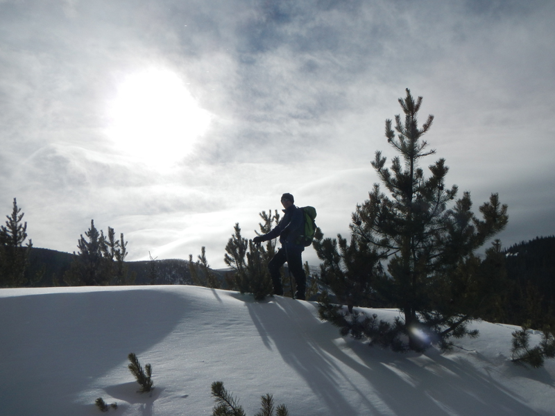
Even though it was the most challenging aspect of the climb, this part of the adventure may have been the most fun. We took turns breaking trail up the steep, forested hill. Thankfully, the sturdy pine trees along the way protected us from the ballistic winds. We chugged up thigh-deep powder about 450 vertical feet until the hillside leveled off into a calm, relatively flat section on the broad shoulder of Nebraska. Sun and shadow streamed through the trees, creating a welcome ambiance.
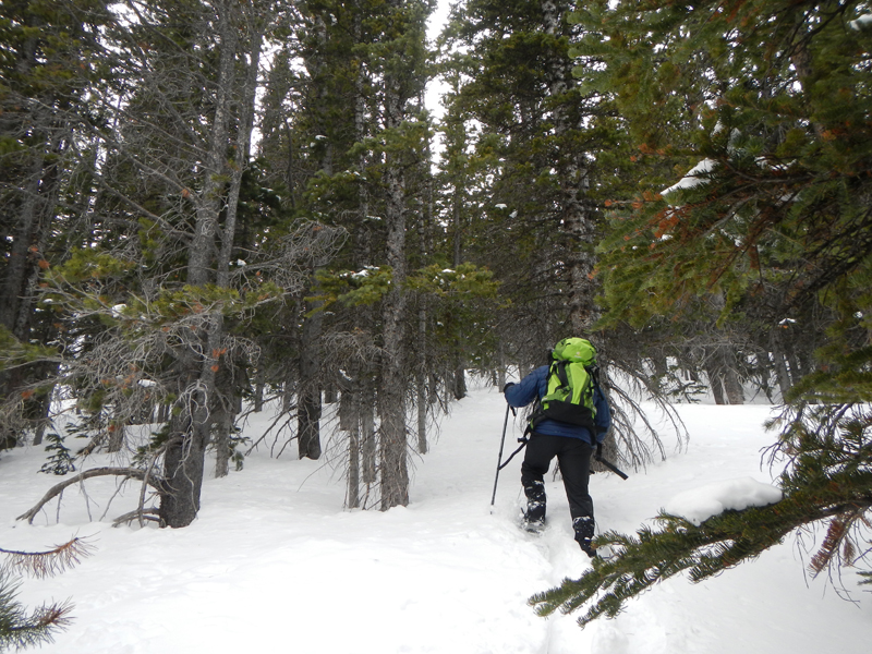
David grinding up through the powder along the shoulder of Nebraska Hill.
Above treeline, we could see the winds ripping — later estimates put these gusts upwards of 75 – 80 mph. To reach the summit, we’d have to spend a little over a half mile and 800 vertical feet in the thick of the hurricane-force winds; not a great place to be when the air temperature is in the teens already.
Just before breaching treeline, I spotted an old, weathered cabin seemingly in the middle of nowhere (looking at maps later, it is actually right along the summer trail that we missed). There was a semi-legible message carved on a piece of wood outside the cabin that was all but lost, but we could make out “Please respect… privacy… cabin… Bob… 86”.
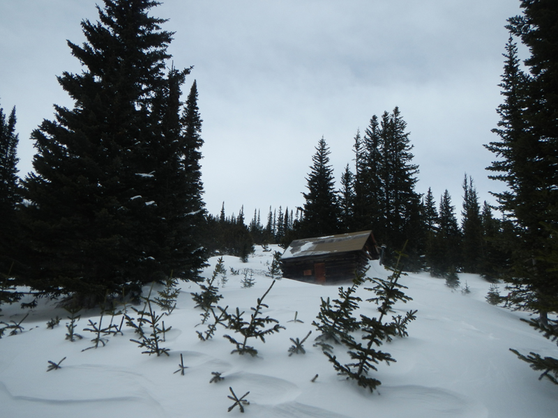
The Creepy Cabin!
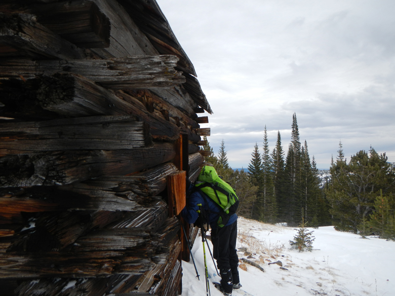
Anybody home?
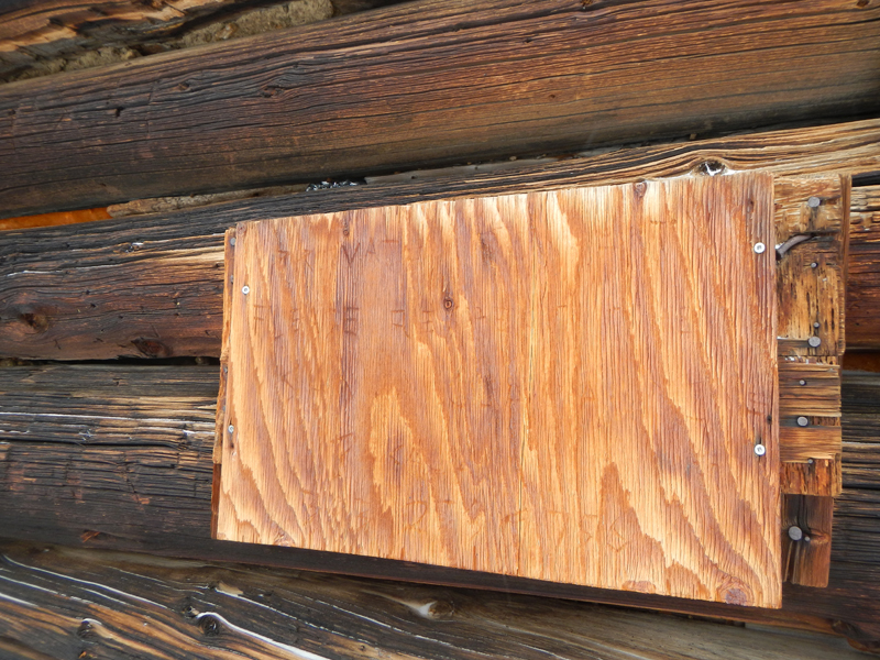
The mysterious wooden sign, courtesy of Bob.
The dilapidated old place had a locked door, but a blown-in window on the west side revealed a peek into the shabby interior. It could be best described as creepy chic. The rotted wooden walls had allowed plenty of snowdrifts into the cabin, where a beaten, wood-burning stove sat off-kilter on the dissolving floor. Still, it was a good location. Maybe I’ll hunt down the owner and offer them $100 to take it off their hands.
Cool, stormy background with the side of Kingston Peak barely visible.
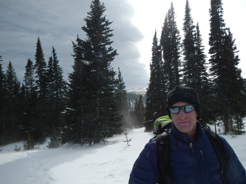
Me during the best part of the snowshoe; untracked snow galore!
Anyhow, we were now 4 miles into our day and still 1.2 miles and 1,000 vertical feet from the summit. The winds were only getting worse and a storm loomed over the horizon. We only had a few hundred feet of tree cover before stepping into the teeth of the wind. With the proper gear, I have no doubt we would have been able to gut it out but we were happy just to have found something, even if it was a creepy cabin. Plus, we still had 4 miles to get back to our trailhead — correction, 4 winter miles. It was a good place to turn around and plot our next attempt.
The wee pixels in the center of this photo comprise the yellow and green schoolhouse in Tolland, which I affectionately call the “Packer House”.
Upper clearing looking east.
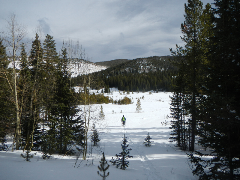
Almost back to the gulch.
Returning through the reservoir.
Having reached Bob’s Creepy Cabin, I was happy to have gotten solid GPS tracks and explored a new, close-by area. The hike back was uneventful but fun. When I finally tapped into Google Earth and opened our tracks, it revealed the missed trail (which may not have made a huge difference) and even the little cabin. Since our plan A (the one through private property) was a wash, we hope to return on a less windy day and finish the hike.
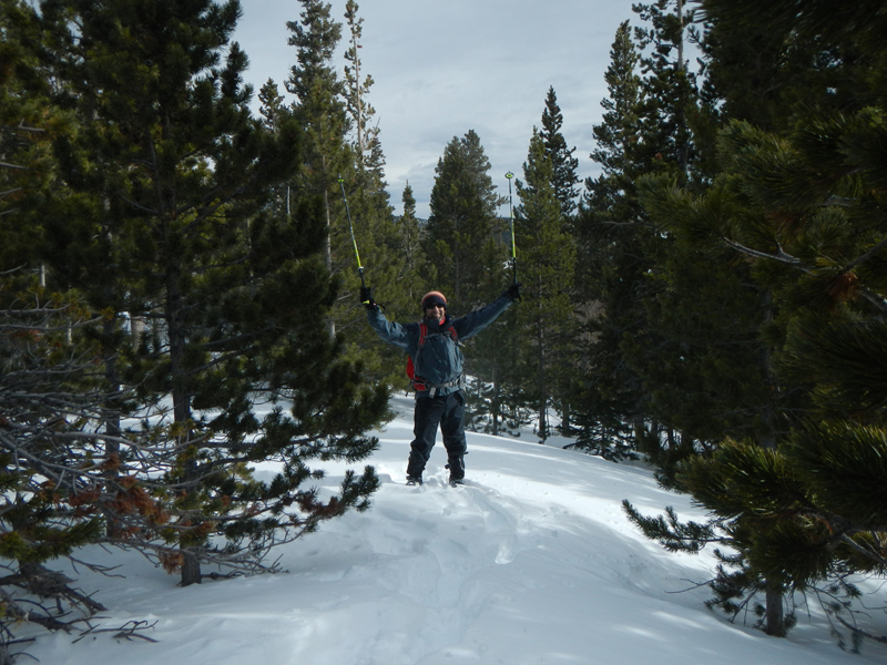
Mountain man David!
A look back at Nebraska Hill and our tracks. The Jeep road starts at the little clearing to the right at the far end of the reservoir.
While we may not have topped out, these kind of adventures are why I love Colorado and why some of these obscure, little-known summits are such a blast to explore. I’m sure the ghost of Bob would agree with me, unless he’s not technically dead yet, in which case I should try to find his Facebook page.
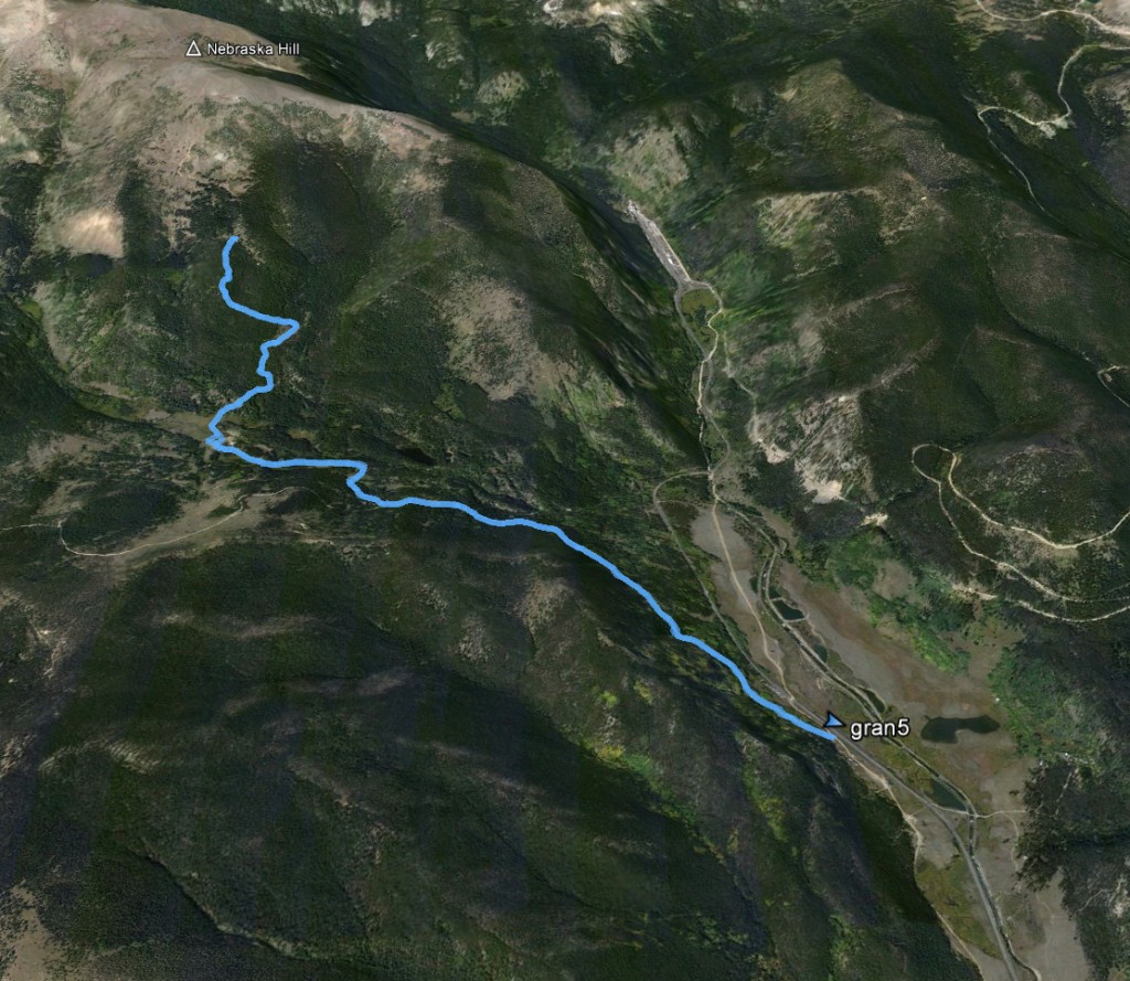
Google Earth look at the exact location of the Creepy Cabin. Oh, “gran5” is just the generic name of my GPS track (it starts at Mammoth Gulch Road).