Last Updated on August 19, 2013 by James Dziezynski
Torreys Peak (14,267 ft.) can be a crowded place in the summer, thanks to its easily accessed trailhead (only about an hour from Denver) and breathtaking scenery. They standard trail up to its summit is a class 2 walk up but if you’d like to make it a bit more exciting, try the less traveled class 3 Kelso Ridge route.
If you’re climbing on a summer weekend, get ready for crowds… until you divert to Kelso Ridge.
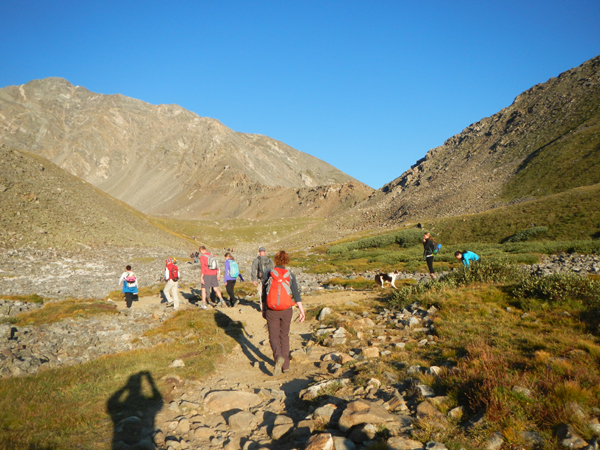
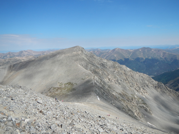
This fine scramble takes you from a low-point between 13,160 ft. Kelso Mountain and Torreys to summit of Torreys Peak. After hiking 2 miles from the trailhead, diverge from the main ascent route up to Torreys and nearby Grays Peak (a popular 14,270 ft. neighboring mountain). From the low notch, it’s 0.75 miles to the top of Torreys.
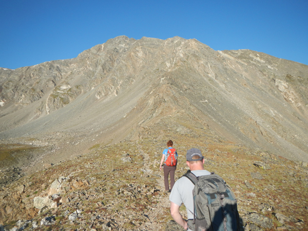
The 0.75 mile scramble to the top starts at the low point between Kelso and Torreys.
Scrambling is solid and fun on the ridge. Helmets are not a bad idea — I’ve used one in the past — but since we were staying on top of the ridge and knew the route, we left them at home.
The scrambling on most of the ridge is solid, fun and relatively easy to navigate. If anything looks too imposing, there are class 2+/easy 3 workarounds, though more adventurous scramblers might want to stay on the ridge proper, where a few class 4 moves await.
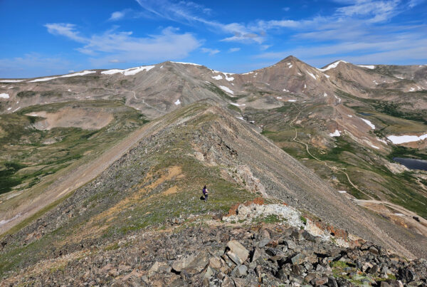
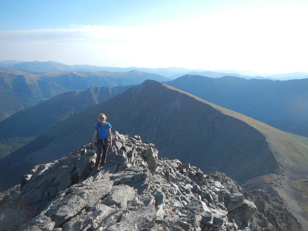
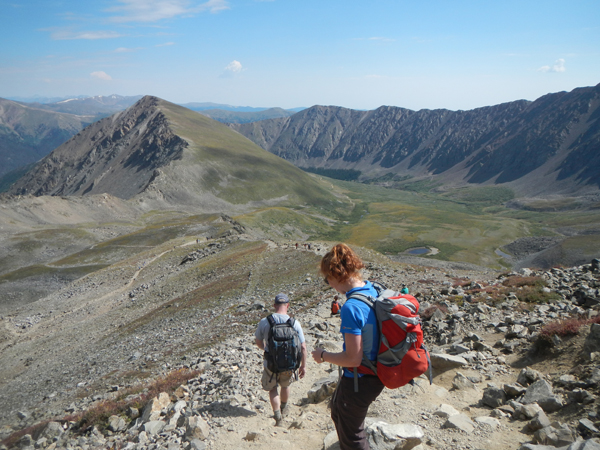
Most of the scrambling is followed by sections of class 2 walking on an improvised trail.
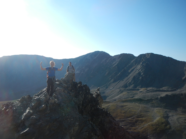
More of the terrain, with Kelso Mountain in the background.
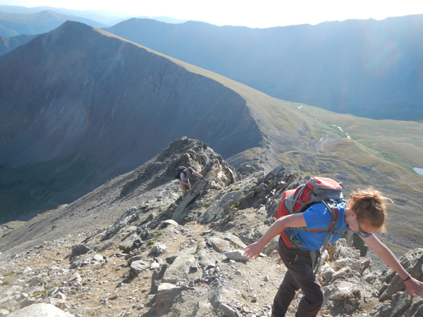
Just before intersecting with the Dead Dog couloir, the crux of the route appears in the form of a short but exposed knife edge followed by a scramble onto a solid white block of rock. There are some arguments as to the rating on this short section, either class 3 or 4, but either way you’ll have to pay attention. Once on the white block, an easy downclimb reveals itself down to the top of Dead Dog and it’s a short jaunt from there to the top of Torreys.
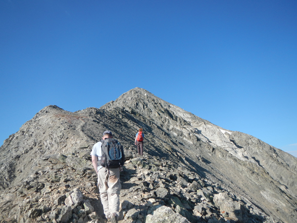
Not much farther now, but the crux awaits.
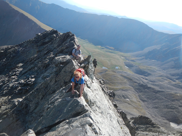
Rosie in the thick of the short but thrilling knife edge traverse, the crux of the route.

The white quartz block concludes the crux and it is a short walk up to the summit of Torreys from there.
The traverse over to Grays is on a well-worn class 2 trail is a nice add on – the two summits are 0.75 miles apart and you drop down to 13,707 ft. before regaining elevation. From Grays, the well-traveled switchbacking trail eventually returns to the Kelso Ridge cutoff and it’s a quick 2 miles back to the parking lot from there.
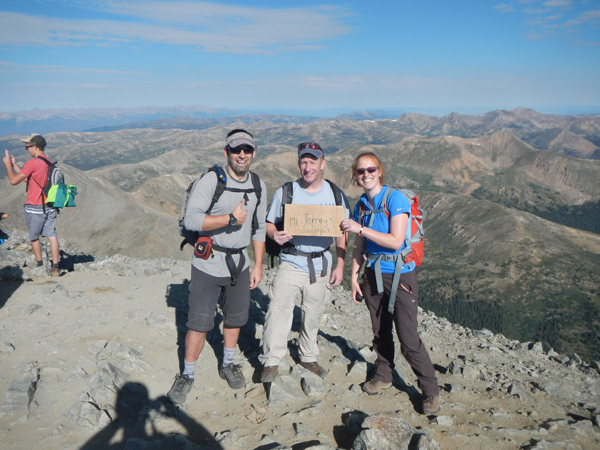
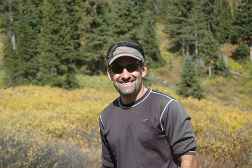
Hey, it’s not our sign! Wrong mountain name and punctuation but you get the idea (l to r: myself, David, Rosie).
A look back at Torreys from the summit of nearby Grays Peak. Kelso Ridge is the “ramp” on the right side.
Total mileage is 7.3 miles for the loop over to Grays and roughly 3,500 ft. of elevation gain. Round trip on this latest visit was 5 hours and a strong pace, though if you were all business, the entire loop could be done by strong hikers much faster.

Joining in the fun on Grays Peak!
It’s an easy walk-off back to the trailhead from Grays.
For added fun, here’s a photo of Kelso Ridge in winter and summer. The winter shot was taken following a climb of the Dead Dog Couloir.
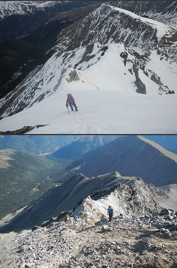
Almost the same spot in winter and summer.
To get there: The Stevens Gulch Trailhead can be reached by taking exit 221 off I70 and following a bumpy dirt road 3 miles to the often-crowded trailhead parking (get there early for a good spot, or else you’ll have to park farther down the road). A carefully driven car can make it to parking area, though anything less rugged than a Subaru Outback might have a tough time in a few of the rutted out sections.
From the trailhead, take the Grays Peak trail 2.0 miles to a well worn but unmarked cutoff to the saddle between Kelso and Torreys. Follow the ridge west from there where a climbers’ trail will intermittently guide you to the top.
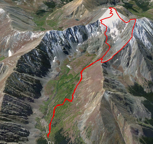
Google Earth look at the route.