Last Updated on August 10, 2020 by James Dziezynski
Directions
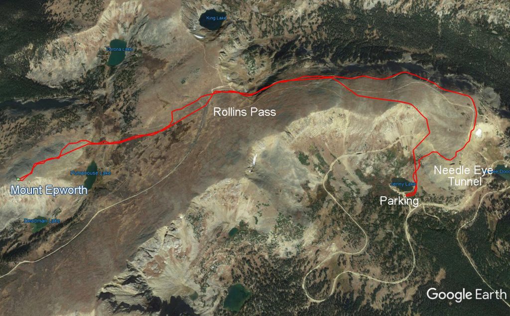
Google Earth view of the route from Jenny Lake to Mount Epworth.
From the east, go the the small town of Rollinsville off Highway 119. Turn west into the East Portal Road (CO 16) and follow the well-maintained dirt road 7.4 miles to the sharp right turn up Moffat Road. Follow this bumpy, rutted road 9 miles (it takes about an hour of driving) to the first parking area at Yankee Doodle Lake, or carry on 0.7 miles farther to parking at Jenny Lake.
Stock SUVS and most sport-utility cars (CRVs, Rav4s) can make it to Yankee Doodle Lake. The only rugged part of the road is the entrance to the Jenny Lake parking area, which requires high clearance (most stock SUVs should be fine). The road is usually unpassable by mid-November due to snow, opening up again mid-June.
Mount Epworth – The Sturdy Mountain with the Nerdy Name
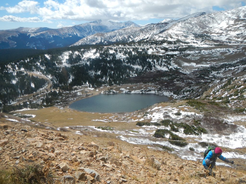
The adventure starts from the sparkling shores of Jenny Lake.
Let’s start with the name—Mount Epworth. You can’t help but pronounce it with a nasally, whiny, inflection that makes it seem like the kind of mountain that gets stuffed into a locker by bigger, tougher peaks with names like Mount Massive and Shark’s Tooth. At 11,843 ft. it lacks the glamor associated with being 14,000 feet—and “elevener” doesn’t roll off the tongue. Perhaps the worst insult is the fact that the current #1 search result for Mount Epworth in Google comes from Summitpost.com and shows a bunch of little kids crawling on the mountain. “Family friendly” is the antithesis of “daring-do” and implies that most people will be doing the hike with a diaper bag and at least one Teletubby. I should say a plush Teletubby. I think the actual Teletubbies retired a few years ago.
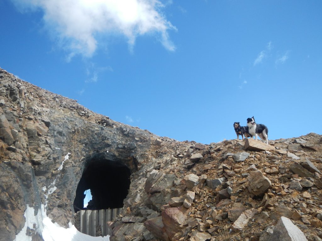
With a little creative planning, however, a day trip to Mount Epworth can be a fantastic day hike. For most Front Range hikers, it makes sense to start from the shores of Jenny Lake via the Moffat Tunnel Road. Climb past the ominous Needle Eye Tunnel over the Continental Divide, past the ruined ghost town of Corona, through decomposing timbers and mining debris, and finally up the peak itself. The best time of the year to undertake this adventure is mid-to-late autumn when the summer crowds have retreated but Moffat Road is still passable.
The ascent up to the Needle Eye Tunnel.
Getting to the start of the hike is a bit of an adventure in itself. You’ll need a fairly rugged vehicle with decent clearance to reach Yankee Doodle Lake (the first possible starting point) or a true 4×4 SUV to get to Jenny Lake’s parking area. If you don’t mind a longer walk, you can park at the Forest Lakes parking lot and avoid the brief but burly entrance road to Jenny Lake.
I’ve seen Subaru Outbacks / Honda CRVs at Yankee Doodle Lake and Forest Lakes parking areas. My Toyota 4Runner had no problem getting up to Jenny Lake and most stock SUVs should be fine. The 10-mile Rollins Pass Road to Jenny Lake is a bit rocky but never too steep or technical. See directions below for details. Note that Jenny Lake is a fantastic, free place to car camp. There are no restrooms, but there are plenty of established backcountry sites and lots of room to pitch a tent.
So there are essentially three starting points:
- Jenny Lake. From here, it’s 0.18 miles up a steep slope with roughly 430 feet of elevation gain to reach the Needle Eye Tunnel, the first goal of the hike. There is ample parking, but you’ll want a high-clearance 4×4 to get up the access road’s washed-out entrance.
- Yankee Doodle Lake. This large parking area is good for Rav4s, Foresters, Outbacks, CRVs, and other mid-clearance vehicles that might have a tough time bouncing up the short access road to Jenny Lake’s parking. From Yankee Doodle Lake, it’s about 0.7 miles to the Jenny Lake Trailhead along the road.
- Forest Lakes Trailhead. To reach this trailhead with parking for about eight vehicles, drive past the Jenny Lake turnoff and continue on the Moffat Road a little less than a mile past the Jenny Lake turnoff to an established parking area. Road terrain is the same as the lower Moffat Road, though there is exposure in places where the road becomes a one-lane shelf, though each of these segments are only about 150 feet long. From the parking area, walk the road 1.5 miles to the Needle Eye Tunnel. Note that the road is barricaded just past the Forest Lakes parking, but it’s an easy barrier to bypass on foot.
I prefer the Jenny Lake approach—it’s about 3.4 miles to the summit of Mount Epworth from here, so about 6.8 miles round-trip.
The Needle Eye Tunnel on Moffat Road.
However you start, eventually you’ll get to the infamous Needle Eye Tunnel. As of 2017, the tunnel is sealed off with wire fencing following the equally as infamous restoration-and-nearly-instant-collapse in 1989. An improvised trail climbs atop the tunnel, where you can either hike down to regain the road or enjoy a pleasant walk along the alpine tundra. A few stone structure ruins still stand on the land above the tunnel.
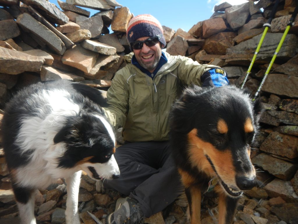
Taking a break in one of the stone shelters above Needle Eye.
Eventually, make your way back to the road and over the highpoint of Rollins Pass. Views to the north and west are pure Rocky Mountain goodness, with Bob and Betty Lakes to the north and the full sprawl of the Vasquez and Gore Range to the west. Carry on to a parking area (which is accessed by driving up the western portion of the Moffat Road out of Winter Park). There are signs here telling the tale of the remarkable, short-lived town of Corona. Underwhelming ruins bely the hearty outpost, which once featured a popular hotel, a covered train station, and of course, railroad tracks that kept trains grinding up the pass year-round! Corona was established in 1904 and abandoned for good in 1936 when the USFS dismantled the buildings and train tracks.
The road to the Corona townsite.
The Corona townsite is nothing more than ruins. There are some informational signs at the western access parking lot.
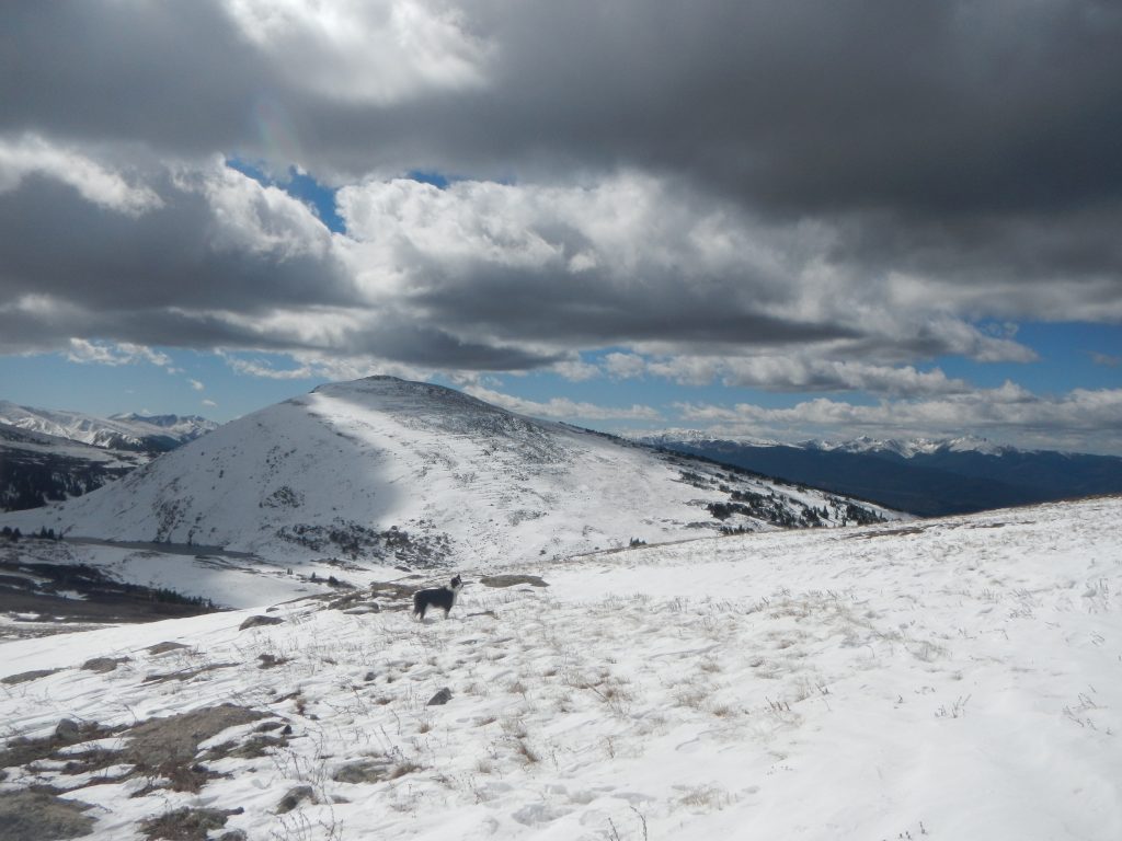
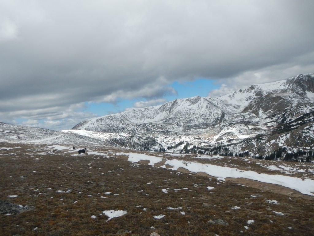
Finally! Mount Epworth appears.
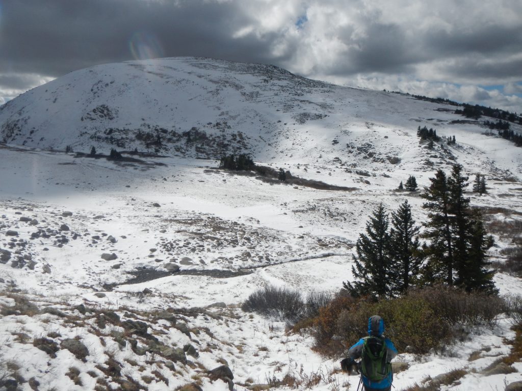
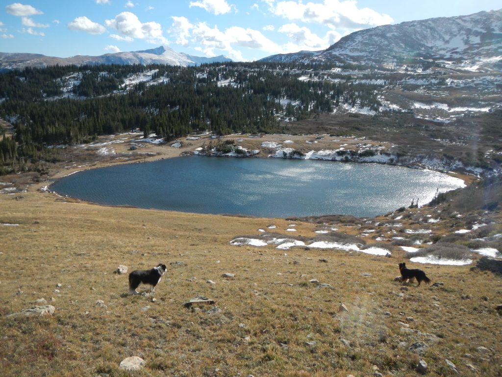
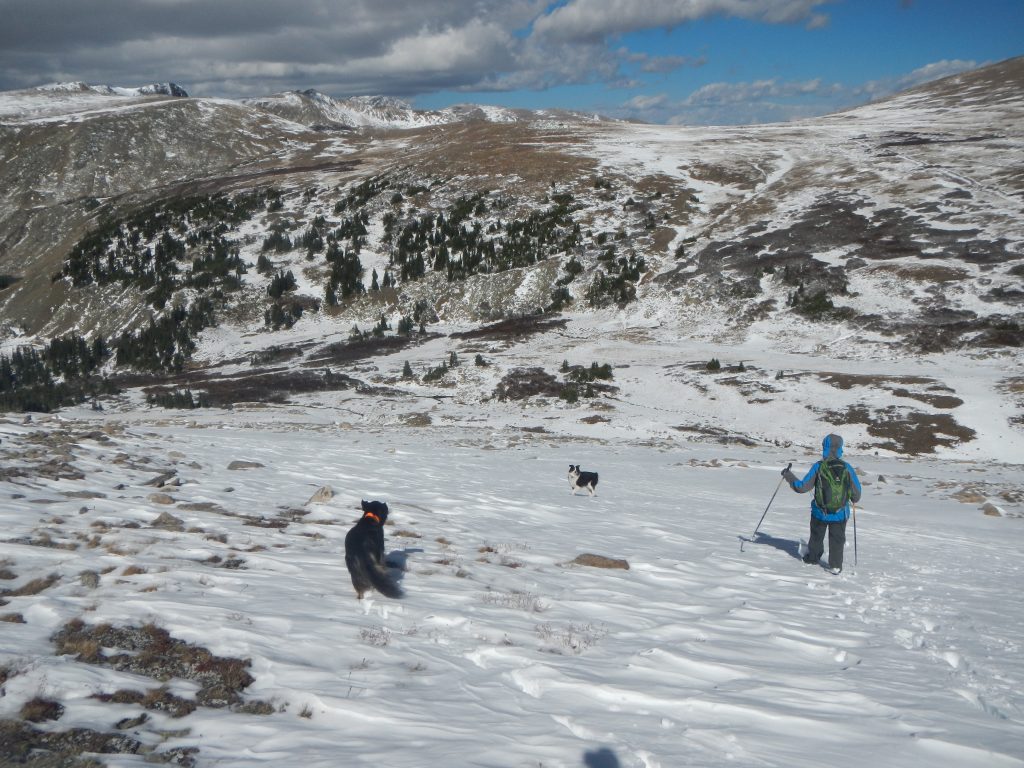
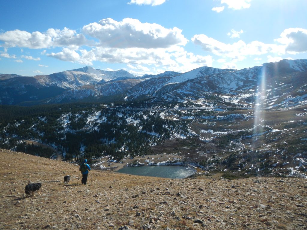
Descending towards Pumphouse Lake.
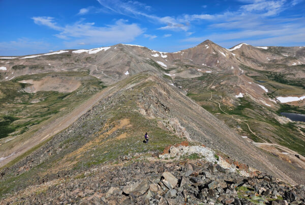
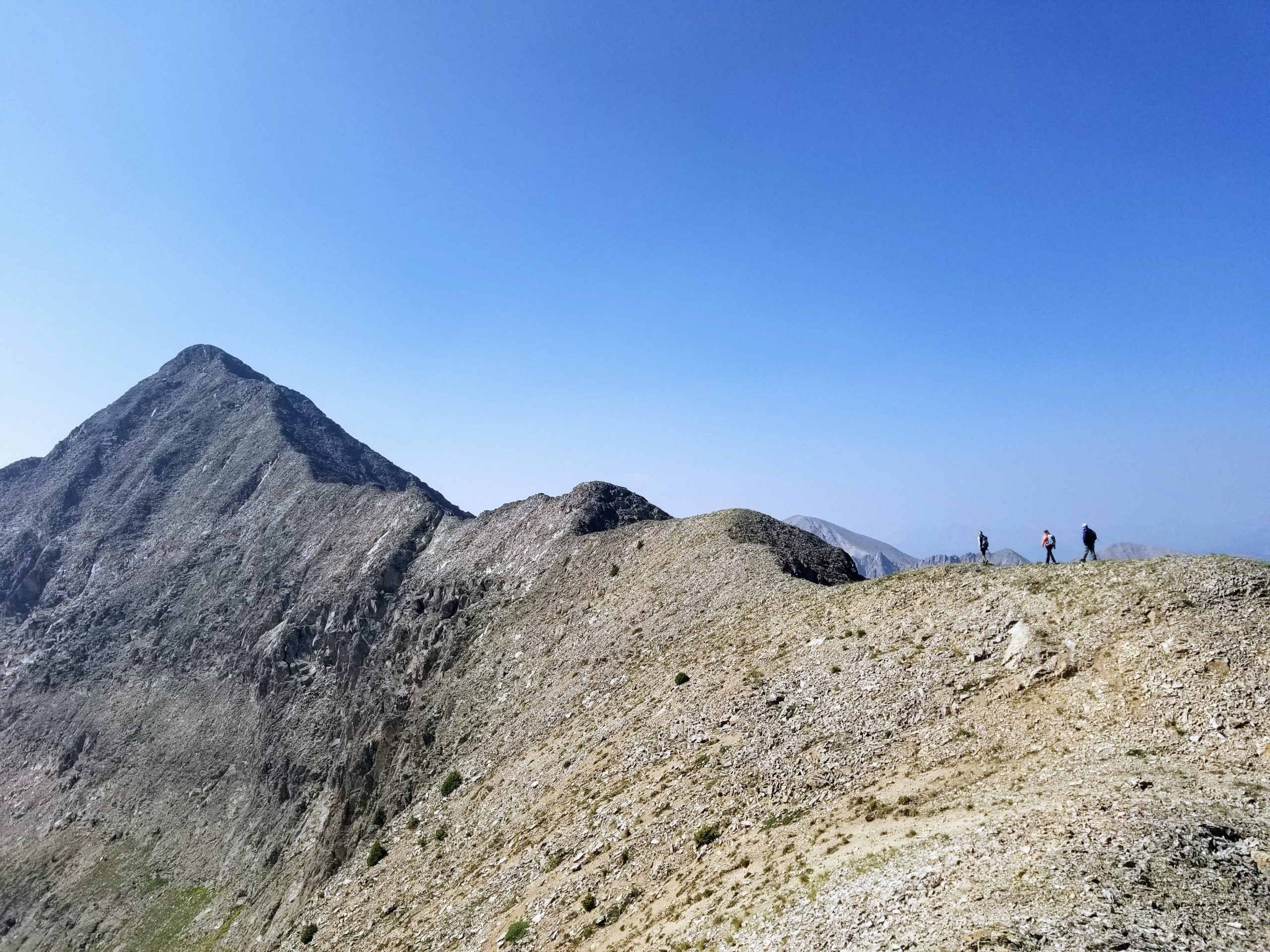
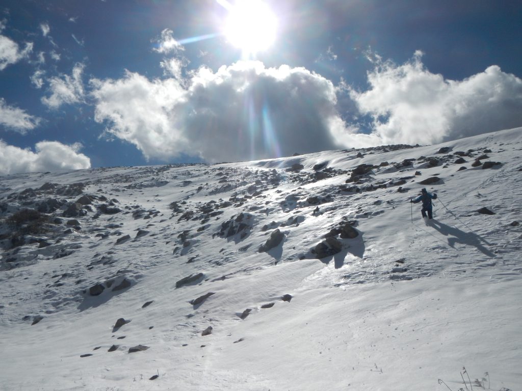
The final ascent begins!
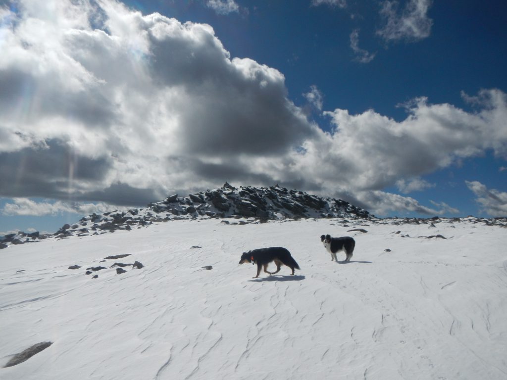
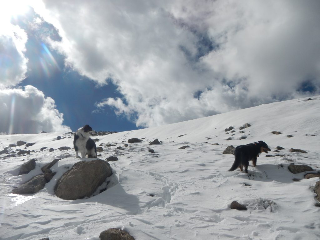
Nearing the summit block.
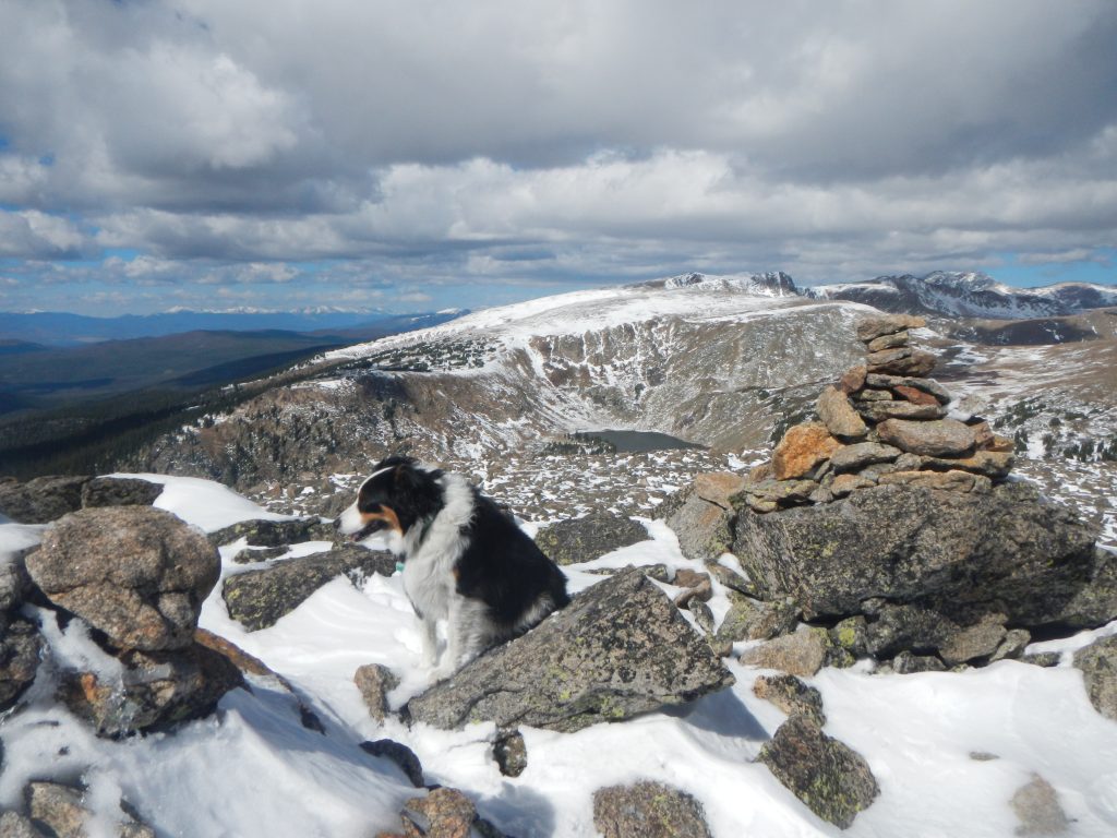
The summit of Mount Epworth. Corona Lake in the distance.
Around here, you’ll get your first views of Mount Epworth. From Corona, it’s about a mile to the top of the peak. Leave the road and bushwhack down open slopes about 300 vertical feet towards the sparkling Pumphouse Lake. From the lake, the path of least resistance passes on the west side. Follow the northeast slopes to your heart’s content to a nearly-flat plateau at 11,790’. The final summit block is an easy, class 2 scramble. Views from the humble apex are impressive in all directions. You may be tempted to tack on a side trip to Corona Lake to the north on your way back.
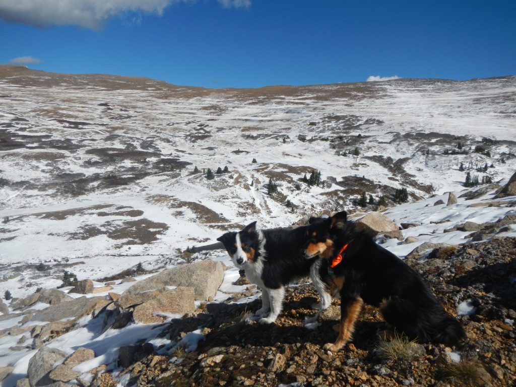
On the descent back towards Corona.
Great light on a beautiful afternoon.
Ear-blowing wind as we near Pumphouse Lake.
When you’ve had your fill, return the way you came. It’s fun to traverse along the ridgeline leading back to the tunnel, but be warned that the east side is cliffed out—something to consider if you are hiking with pups. Enjoy the dramatic views on the way back, especially Jenny Lake as seen from above.
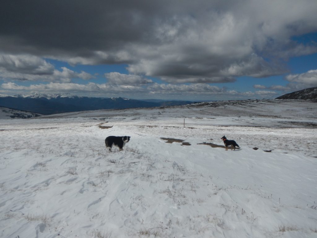
My favorite visit to Epworth was on a cold, windy, October day with plenty of fresh snow (we post-holed up to our waists near the summit). It was the perfect mountain setting: long shadows, amazing autumnal sunlight, caravans of clouds with dark gray bottoms hastily drifting above, and the last defiant wildflowers begrudgingly wilting in the crisp, dry grass. The entire day was a bit less than 5 hours of adventure, which takes into consideration browsing the Corona ruins and gazing out upon the mountainous world from the summit.
Returning towards Jenny Lake.
The town ruins, the snowed-over road, and having the place to ourselves aligned the mood with the contemplative nature of October. Corona can be a busy place in the summer, mostly from traffic from the western access road. I preferred the seasonal isolation because it hinted at the true nature of this place: a momentary habitat quickly abandoned by man and demoted by mother nature. The old road is only a gateway to the ruins of another day that has long past.
I say give Mount Epworth the dignity it is due. Visit it when the fair-weather flocks are safely indoors, warmed by the glow of NFL football radiating from the TV. Epworth stood silently by as the area developed into a minor boomtown, receded, and decayed. Long before that, it withstood powerful glaciers that ground down most of the land to the west. Defiant, sturdy, and inconspicuous, it’s a great little mountain to get to know.
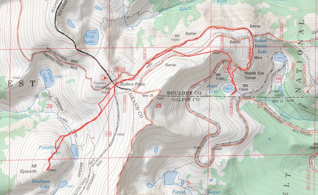
A topo map of our route.