Last Updated on July 31, 2023 by James Dziezynski
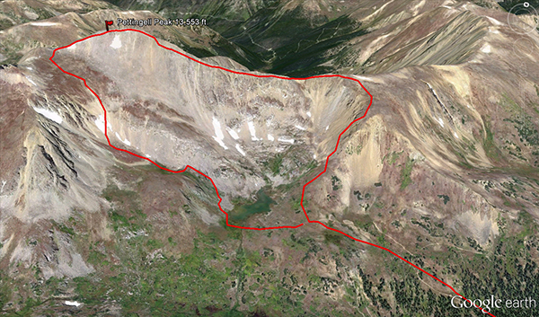
A Google Earth view of the class 3 East Ridge route on Pettingell Peak.
13,553 ft. Pettingell Peak is the high point of Grand County, Colorado and has a very easy-to-access trailhead and yet it remains a seldom visited mountain. This despite the fact that hoards of hikers visit Herman Lake, located at the foot of Pettingell. Some of this may have to do with perspective. When viewed from Herman Gulch/Lake or most southern vantage points, Pettingell looks like a massive, formless clump of boulders. It’s difficult to discern which point on its aesthetically ambiguous ridge is the actual summit. The stunning twin peaks of the Citadel are the dominant features of the basin, while the nearby dual 14ers of Grays and Torreys Peaks siphon off a lot of peakbaggers.
The shame of all this is that Pettingell cuts an impressive profile when viewed from the north. Most of these optimal viewing places are relatively remote (such as St. Louis Peak, Mount Nystrom and Bills Peak). Pettingell also has a surprisingly fun class 3 ridge route. Mild southern slopes offer a less technical climb and an alternative ascent route for non-scramblers not to mention a fast and fun descent, especially for skiers and those inclined to glissading.
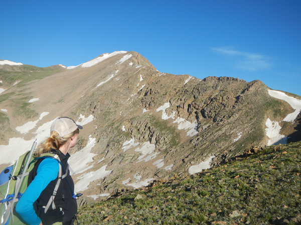
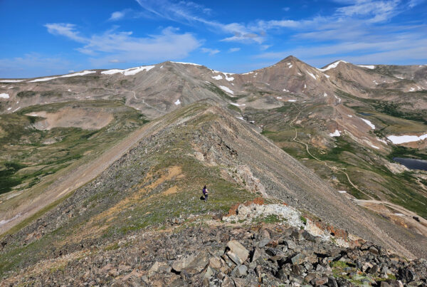
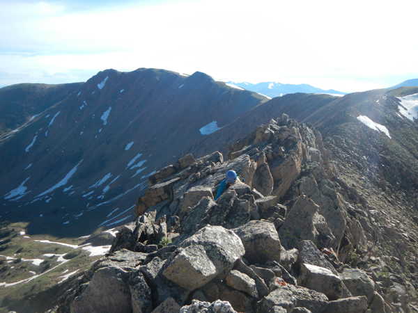
Jenny lines up the east ridge scramble.
There are no standard hiking trails to Pettingell’s summit but the two primary routes are straightforward hikes. Both begin on the well worn Herman Gulch trail off exit 218 on I-70. For hikers willing to plod up the southern slopes, going on the western side of Herman Lake will bring them above the basin and upwards to the top. If scrambling is more your thing, then check out the fantastic 0.75 mile class 3 east ridge.
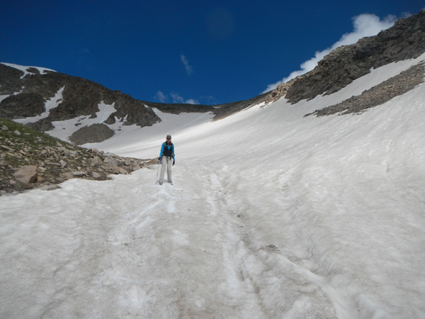
Accessing the ridge proper is a bit of a grind, though you get a nice 3 mile warm up along the Herman Gulch Trail before the real work begins. There are a few ways to gain the next 1,000 vertical feet and begin the ridge. There are grassy slopes to the east that offer a safe but steep trek. We opted to scramble a somewhat loose class 3 hill that directly connected to the ridgeline. There’s also a nice gully that would be a good snow climb when it is in.
However you reach the ridge, the fun begins at a notch that designates the low point of the ridge. From a distance, some of the features look daunting but as is often the case, when you get close up they are much less intimidating. The entire route is on mostly solid rock, but remain vigilant for the occasional loose boulder (especially some of the bigger ones). Good route finding is required and most of the difficulties can be avoided by staying on class 3 slopes on the southern side of the peak. Staying high on the ridge is also an option and offers some nice, airy class 4 sections, most of them brief.
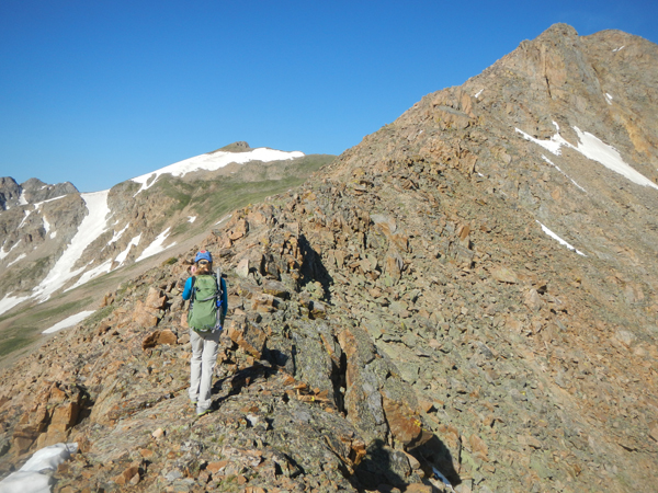
The end of the grassy slopes and the start of the ridge.
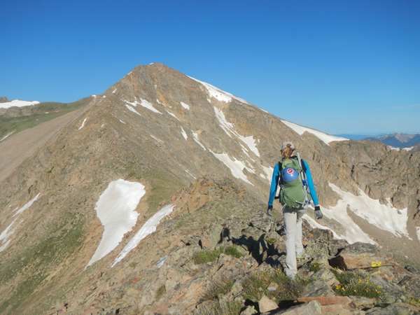
The ridge has airy class 4 options on the spine and mellower class 3 lines. For the first half of the ridge, the south offers the best bypasses.
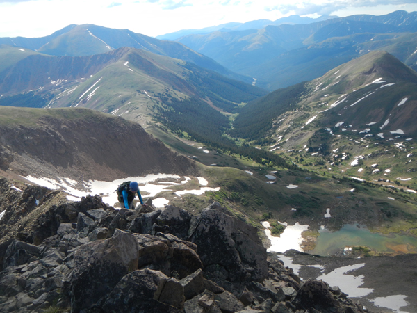
Halfway through the ridge.
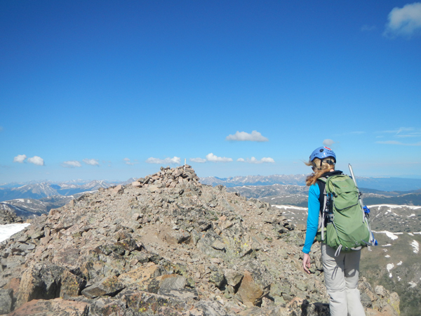
Topping out on the “fin”, the final obstacle before the summit. Herman Lake is 1,200 feet below. You can even get a glimpse of the highway in the distance.
The trickiest part of the line is getting by a series of notches. The first half of the ridge has nice southern bypasses. Once you are closer to the top, there are a few good bypasses on the north side of the ridge as well. An intimidating fin of rock seemingly blocks the final passage to the summit, but as you near it there are plenty of safe lines on the south (left) side of the fin or climb the fin directly for an airy class 3+ scramble (note this may be trickier with snow).
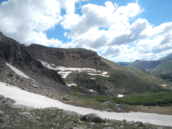
Once you’ve gotten above the fin, it’s a pleasant walk over to the gorgeous summit. Kudos to the team that built a bomber wind shelter at the top! For the descent, cruising down the south slopes is the way to go. Viewed from the summit, a hill intersects two possible descent lines. We opted for the right route, which led to a fun glissade and quick access to the lake. For a moment, it look liked we may be cliffed out but a nice, grassy notch on the northwest side of the lake offered an easy line back to the lake.
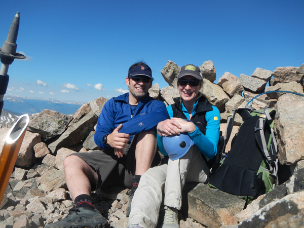
Jenny a few steps from the summit.
Huzzah to a fine wind shelter on the summit!
Great glissade lines on the south slopes!
A look back at the buttress we used to gain the ridge. There are easier slopes just behind it as well.
At a brisk pace, we completed the circuit in 5 hours 45 minutes though I think a 6 – 8 hour estimate would be fair. Distance is between 7.5 – 8 miles round trip, depending on how directly you want to gain the ridge. Pettingell was a wonderful summit and somewhat of an open secret close to the Denver/Boulder area. Bring a helmet and ice axe (for a glissade).
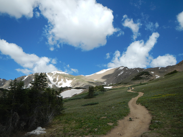
Pettingell Peak on the right, from the Herman Gulch trail.