Wooo-- I've been playing around with my GPS data and Google Earth. When I can manage a free night, I'd like to make some cool 3-D maps with the data and write up a little trip report on my most recent outing (Challenger Point and Kit Carson Peak, a couple of 14ers in the Sangre de Cristo Range). Really neat stuff, Google Earth blows my mind-- you should check it out if you haven't already!!
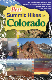
I'm also hoping to get out and play in the mountains some more this weekend, so hopefully I can add a second adventure to the "JD's Super Maps" template next week as well. Technically, I still have the GPS tracks for all the hikes in my book too, so I could retroactively add them in.