Last Updated on July 30, 2014 by James Dziezynski
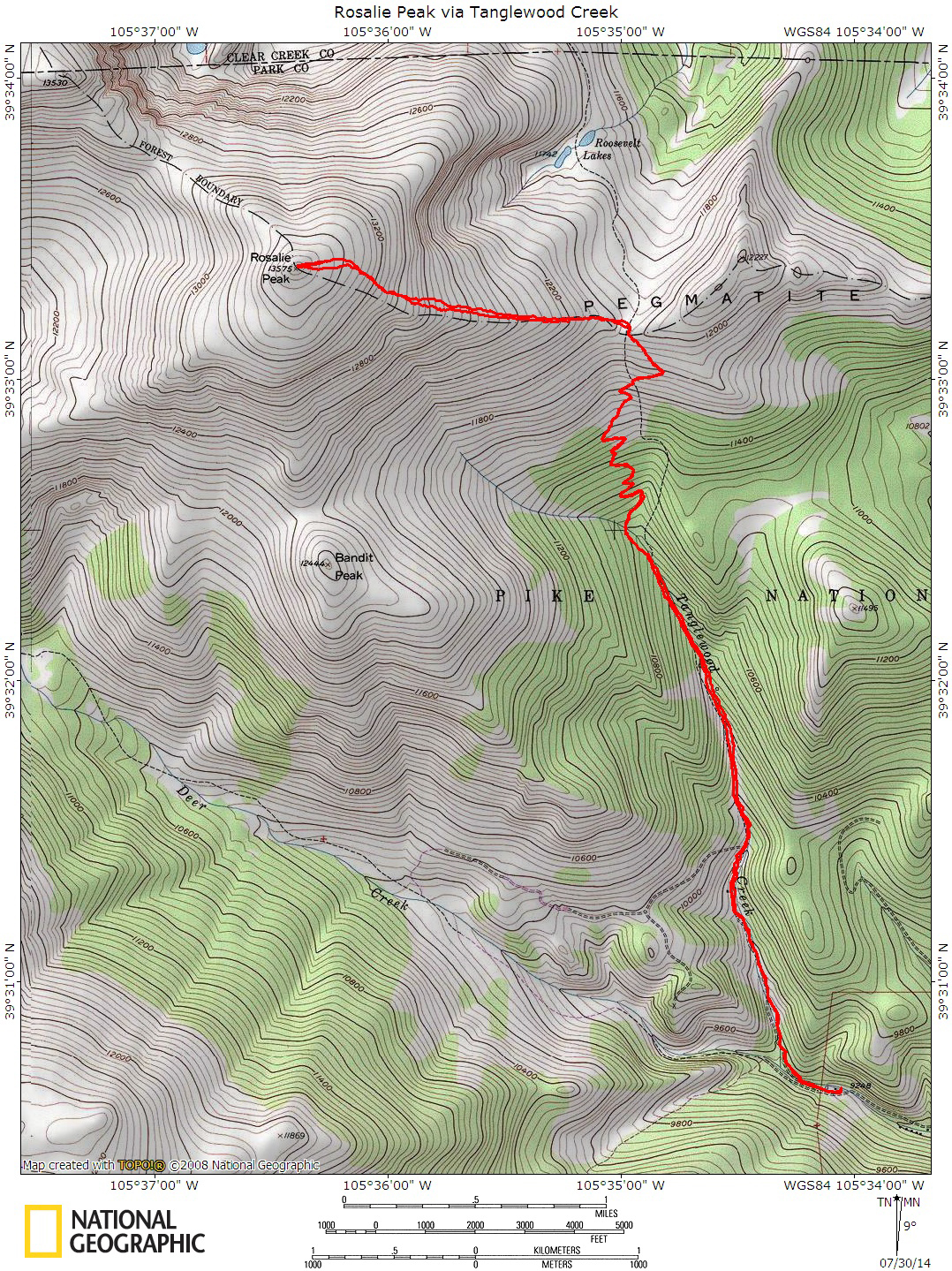
Click for full sized map!
13,575 ft. Rosalie Peak doesn’t see a lot of visitors, which is somewhat surprising considering its proximity to Denver (about an hour’s drive). As 13ers go, its a straightforward class 2 mountain. Summitpost.org has this to say about the peak:
Rosalie Peak, the 207th highest peak in Colorado, is the southernmost thirteener in the Mount Evans Wilderness. When viewed from Denver, it’s the rounded summit on the left end of the Evans Massif. It is named for Rosalie Bierstadt, wife of the famous painter of Western landscapes, Alfred Bierstadt. Originally, Mount Evans was named Mount Rosalie, but when the Colorado legislature renamed that summit for the second territorial governor of Colorado, John Evans, they gave Rosalie Peak its current name.
It’s interesting that when hiked from the Mount Evans road, you will actually start out downhill (similar to the south ridge of Mount Bierstadt). So if you’re looking for a relatively easy peak bagging route, that would be it. We opted for the Deer Creek Trailhead route from the south near Bailey, which has a surprising 4,370 ft. of elevation gain.
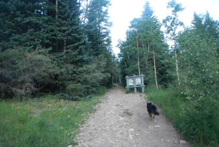
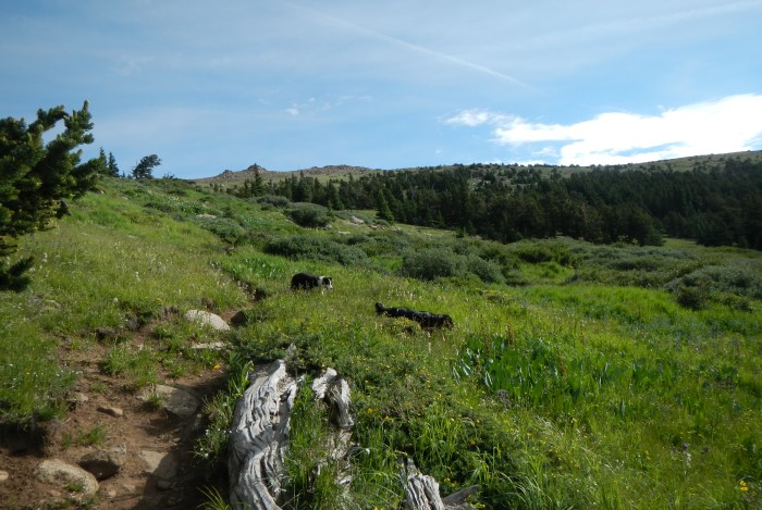
The start of the trail.
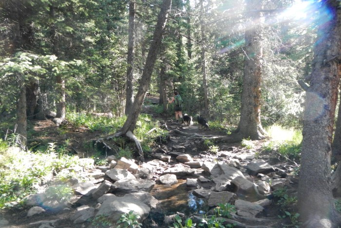
A good shot of the lower trail by Tanglewood Creek.
It’s worth noting that the old trail to Rosalie via Deer Creek must have been improved in the past few years. Older write-ups cite the trail at 9.0 miles round trip and the National Geographic Trails map I use shows a straight trail up the saddle between Rosalie and Pegmatite Points. As of 2014, the trail has added in switchbacks and swings out a bit farther east, making the total mileage 10.5 miles.
Despite the beefy altitude gain and 10+ miles, it’s not a particularly grueling day. The trail to the saddle is well maintained (mostly for backpacking) and when you split to head towards the summit, you will undertake a “pleasant grind” along a modestly angled but deceptively long hill (1,600 ft. of vert gain).
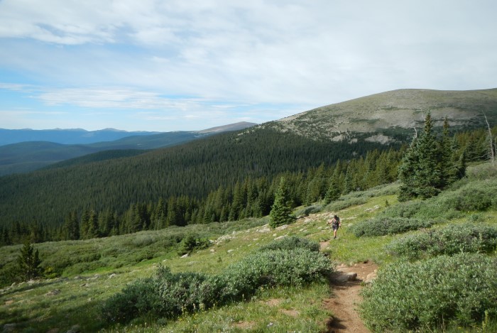
From the Deer Creek Trailhead (see directions below), follow the Tanglewood Creek Trail 4.0 miles to the Saddle Between Rosalie and the Pegmatite Point. This is an easy-to-follow and shady trail that parallels the humble flow of Tanglewood Creek most of the way. From the saddle, it’s 1.5 miles to the top.
When you first start, there is a split with sign; stay right towards the Rosalie Trail and Tanglewood Creek. About a mile in, there’s another split with the Rosalie Trail going left and the Tanglewood Trail going right. Oddly, stay on the Tanglewood trail (the Rosalie Trail circumnavigates the bottom of Rosalie Peak and offers a LONG way to the summit via the west slope — skip it!)
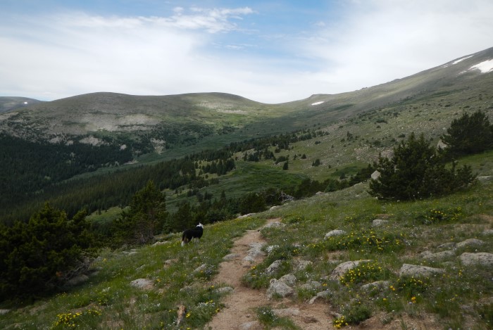
As the trail begins to climb in earnest, you’ll pass through a duff strewn forest, high willows and finally breach treeline in a series of switchbacks. The flowers were A+ when we hiked in July. When you reach the saddle, the trail will continue on to the Roosevelt Lakes below. This is the spot to hop off the trail and go west young man (or woman, or dog).
Breaching treeline!
A look back through the willows with unranked “Bandit Peak” in the background.
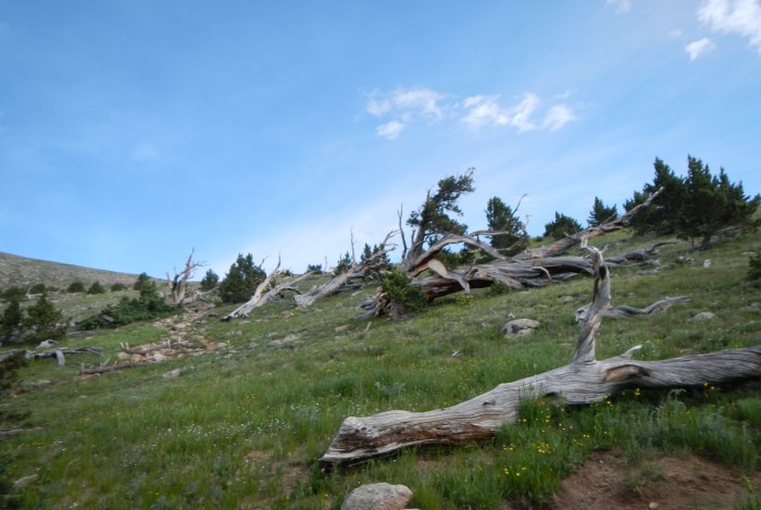
Ghost trees along the way.
Nearing the saddle between Rosalie Peak and Pegmatite Points.
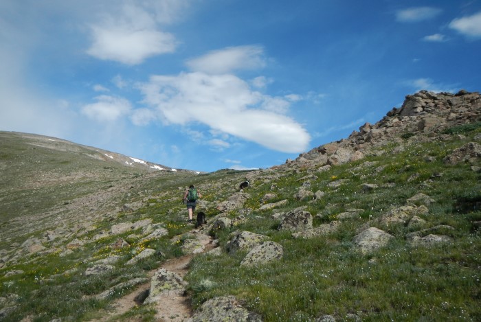
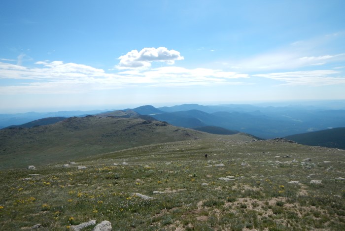
There are no established trails from this point — not even a faint hiker’s trail, which is sort of odd — so try to stay on rock as much as you can. The high point you can see from here is not the true summit but thankfully, it’s a rather benign false summit. When you reach the visible point, you’ll be at 13,400 with only 150 vertical feet to the true top. The views along the way are marvelous, especially as the Mount Evans Road comes into view.
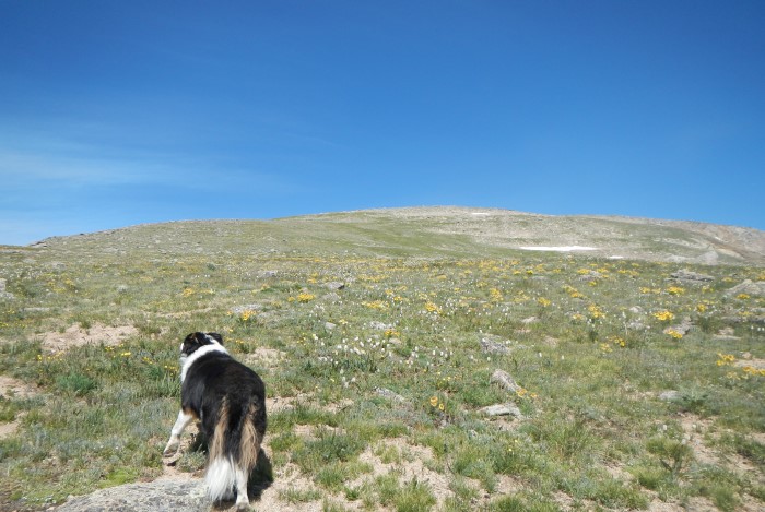
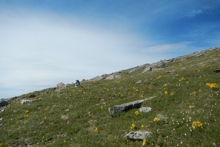
It doesn’t look like much, but that’s 1,600 vertical feet away! At least the flowers are nice.
Looking back east towards Pegmatite Points.
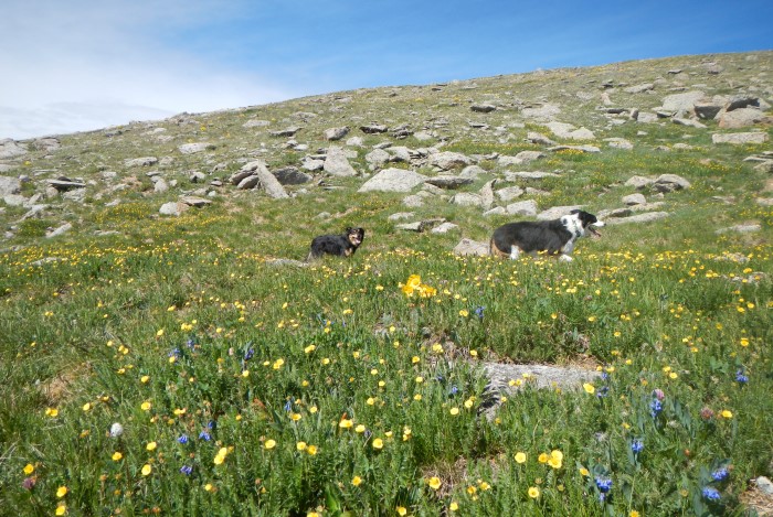
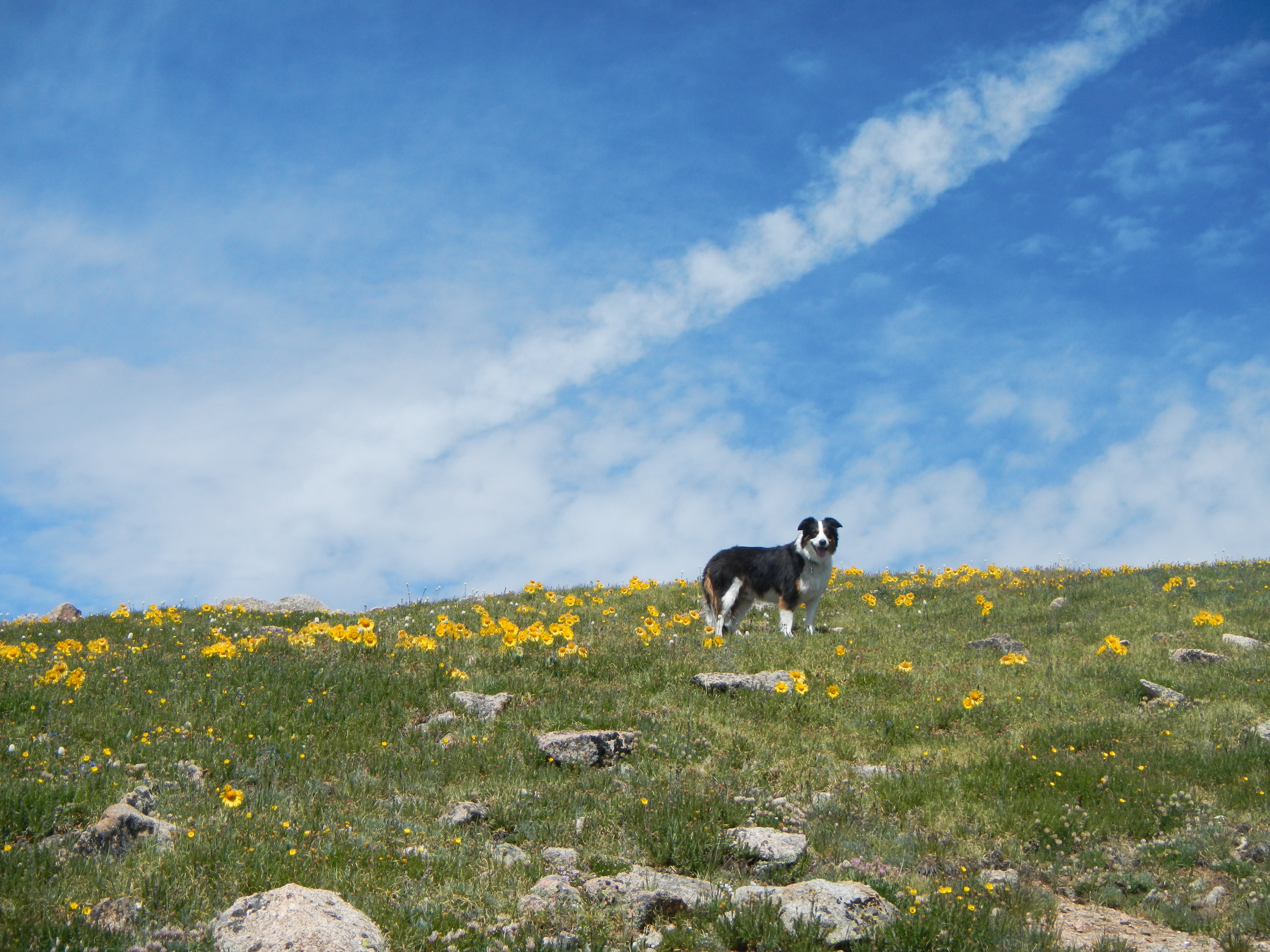
More flowers!
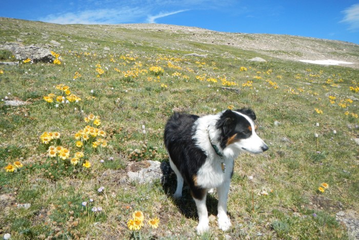
Happy Mystic!
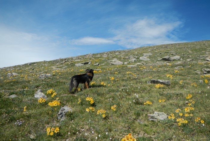
Yet more flowers!
Guess what? More flowers!
The slope near the top of the false summit (note the flowers).
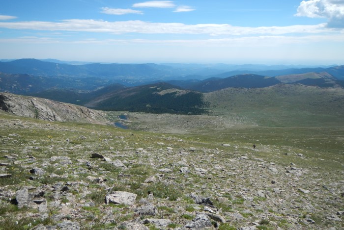
Looking down at the Roosevelt Lakes.
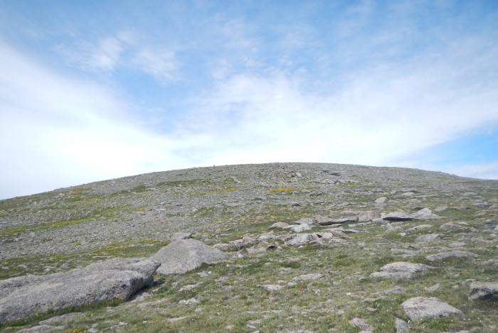
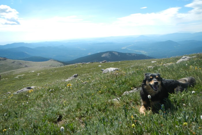
The view from Rosalie’s false summit. See, not so bad!
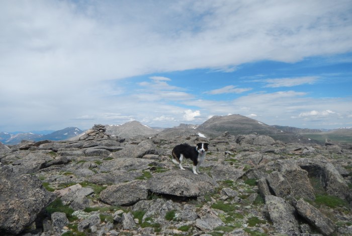
The summit is mostly flat and had a register when we were there. Views to the north showcase Mount Evans, Mount Bierstadt and the notorious Sawtooth Ridge connecting Bierstadt and Mount Spalding. To the east you can see Denver on a clear day, to the south Pike’s Peak and if you’re super lucky, the Crestones out out to the far southwest. Stalwarts Grays and Torreys are easy to spot to the immediate west.
Fremont was the first up to the summit of Rosalie Peak! Mount Evans in the background.
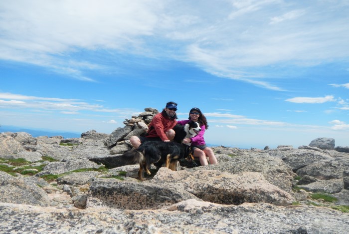
The entire crew!
Return the way you came — which may end up feeling a bit long, especially on a hot day. While Rosalie isn’t the most exciting hike in terms of scrambling or climbing, it’s a nice walk-up that is worth the visit. Given the elevation gain and length, it’s a nice warm up for the Sawatch 14ers or for a training hike as well.
Time to head home…
Directions: From Hwy 285, turn north onto County Road 43 (this is about 4 miles from the town of Pine Junction and 2.7 miles from the center of Bailey). There is a traffic light and gas station at this junction. I apologize for not having exact mileage, but it’s about 9 miles to the Deer Creek Trailhead from here. Follow 43 until a fork in the road about 7 miles in. Take the left fork (CR 43) not the right (CR47). The road becomes dirt and will bypass the Deer Creek Campground, which is a lefthand fork — stay right (there is a microscopic sign for Deer Creek Trailhead at the fork). In about 5 more minutes, you’ll reach the large parking lot, which has a sign for no overnight camping. The entire road (dirt and pavement) is passable by passenger cars. The trail begins through a gap in the fence in the upper left part of the parking lot.
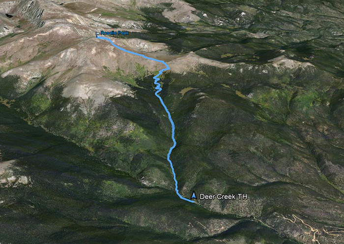
The Google Earth view.